Education Resources:
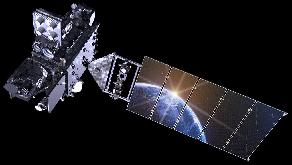
We work with our agency and academic partners to create materials for students, parents, teachers and the general public about meteorology, space science, weather phenomena, the environment, and Earth-observing satellites like the GOES-R Series. These efforts support broader national initiatives to improve science, technology, engineering, and mathematics (STEM) education.
If you would like to request materials for your classroom, organization or event, please fill out our materials request form.

Activity Kits
Need an activity for your classroom or outreach event? Check out our weather and solar themed hands-on activity kits.
Activity Kits
Need an activity for your classroom or outreach event? Check out our weather and solar themed hands-on activity kits. All kits include grade level, time required, materials needed, and a full tutorial. The kits also explain the science behind the activity and include discussion and journal prompts as well as extension activities.
Foggy Fun
Explore how fog forms in this hands-on activity that demonstrates radiation or ground fog.
Download Foggy Fun kit.
It’s Electric!
Explore how lightning forms in this hands-on activity that demonstrates static electricity.
Download It’s Electric! K
kit.
Make a Coronagraph
Explore how coronagraphs observe the sun in this hands-on activity that demonstrates an artificial eclipse.
Download Make a Coronagraph kit.
Make a Thunderstorm
Explore how thunderstorms form in this hands-on activity that demonstrates hot and cold air convection.
Download Make a Thunderstorm kit.
Make a Tornado
Explore how tornadoes form in this hands- on activity that demonstrates the shape of a funnel cloud.
Download Make a Tornado kit.
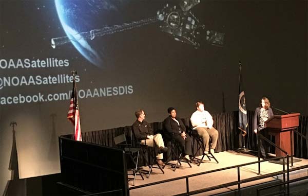
GEO Virtual Visits
Connect your learners to GEO experts through the magic of virtual learning! Request a Virtual Visit for your class or educational group by clicking the link below.
GEO Virtual Visits
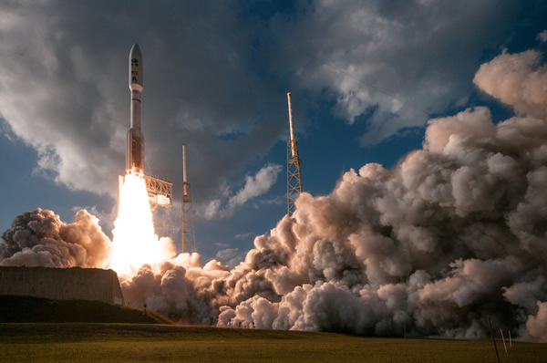
Request Materials
To request materials to be sent to your organization or event, click the button below.
Request Materials

SciJinks
Resources and interactive activities about weather, satellite meteorology and Earth science for grade 6-12 students and educators.
Space Place
Interactive activities for grade K-5 students, teachers, and parents that make the science of Earth and space exploration fun.
Videos for Kids
Fun and educational videos for learning about satellites and monitoring weather on Earth and in space.
Printables
Downloadable and printable posters, bookmarks and other materials for students and teachers.
Printable Education Items
Downloadable and printable posters, bookmarks and other materials for students and teachers.
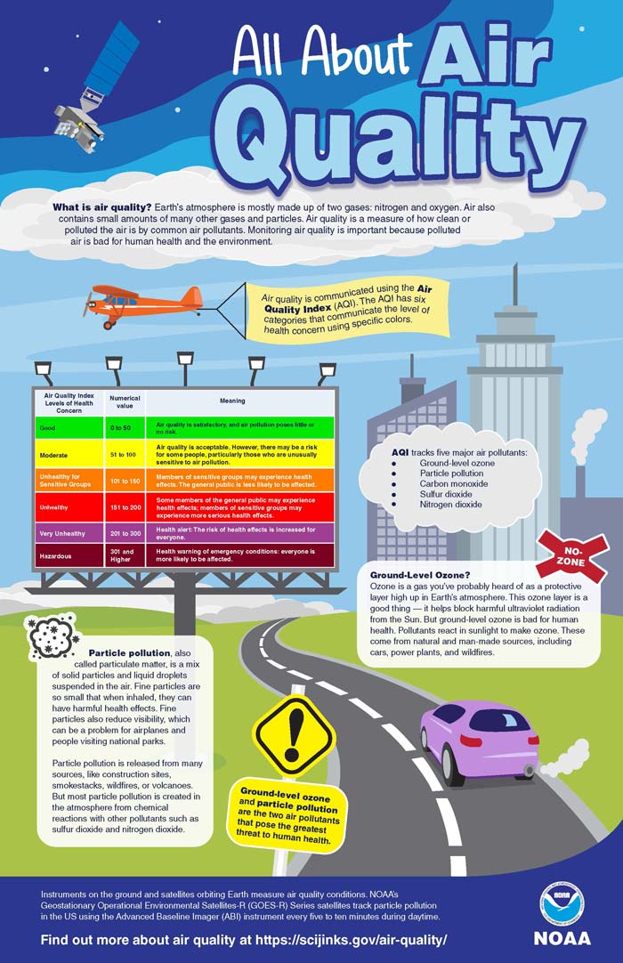
All About Air Quality
Earth’s atmosphere is mostly made up of two gases: nitrogen and oxygen. Air also contains small amounts of many other gases and particles. Air quality is a measure of how clean or polluted the air is by common air pollutants. Monitoring air quality is important because polluted air is bad for human health and the environment.
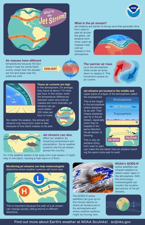
What is the Jet Stream?
Jet streams are bands of strong wind that generally blow from west to east all across the globe. They impact weather, air travel and many other things that take place in our atmosphere.
Download What is the Jet Stream? Poster | View What is the Jet Stream? Video
What Causes a Tornado?
The swirling, funnel-shaped winds of a tornado are easily recognizable—and they can be very dangerous. But what causes these unique and violent weather phenomena?
Download What Causes a Tornado? Poster | What Causes a Tornado? Video
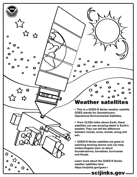
Weather Coloring Pages!
Color and learn about weather with printable coloring pages, including weather satellites, clouds, hurricanes, lightning, and solar flares. Download the full set of coloring pages below.
Clouds | Hurricanes | Lightning | Solar Flares | Weather Satellites
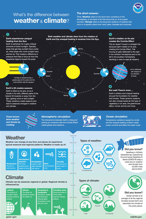
What’s the difference between weather and climate?
Weather refers to the short-term conditions of the atmosphere at any given time. Climate refers to the long-term patterns of weather that occur in a specific place over many years, decades and centuries. This poster explains the factors that drive weather and climate.
Download What’s the difference between weather and climate? Poster
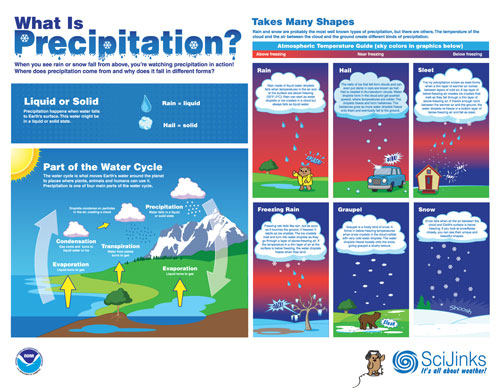
What is Precipitation?
When you see rain or snow fall from above, you’re watching precipitation in action. This poster explains where precipitation comes from and why it falls in different forms.
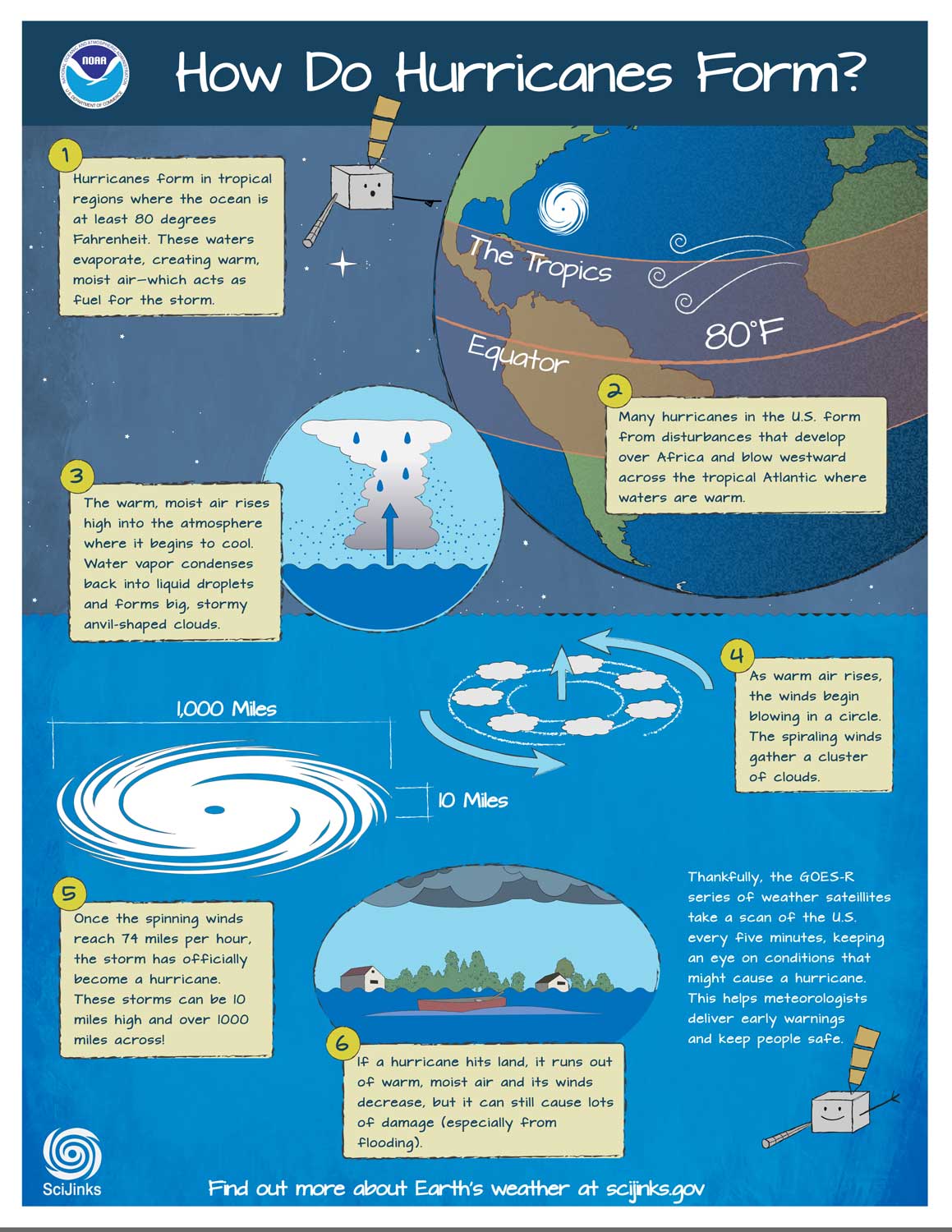
How do Hurricanes Form?
Hurricanes are very large and intense storms. But where do these giant storms come from? This poster accompanies a video about how hurricanes form and how GOES-R satellites can help predict a storm's intensity and track it minute-by-minute.
Download How do Hurricanes Form? Poster | How do Hurricanes Form? Video
What Causes a Thunderstorm?
All thunderstorms need the same ingredients: moisture, unstable air and lift. This poster accompanies a video that explains how thunderstorms form.
Download What Causes a Thunderstorm? Poster | What Causes a Thunderstorm? Video
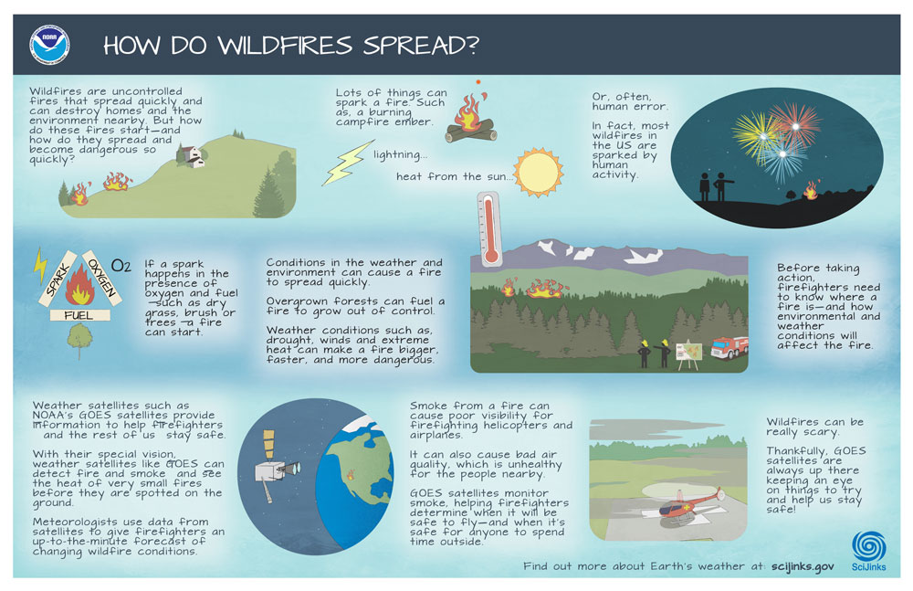
How do Wildfires Spread?
All thunderstorms need the same ingredients: moisture, unstable air and lift. This poster accompanies a video that explains how thunderstorms form.
Download How do Wildfires Spread? Poster | How do Wildfires Spread?Video
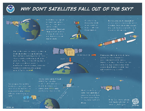
Why don’t satellites fall out of the sky? Poster
How do satellites stay in orbit? When a satellite is in orbit, it has a perfect balance between its momentum and Earth’s gravity.
Download Why don’t satellites fall out of the sky? Poster | View Why don’t satellites fall out of the sky? Video
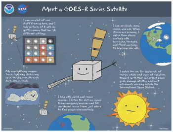
Meet the GOES-R Series Poster
GOES-R Series satellites see all kinds of weather from 22,000 miles above our planet! This poster accompanies a fun animation that tells the story of our satellites.
Download Meet the GOES-R Series Poster | View Meet the GOES-R Series Video
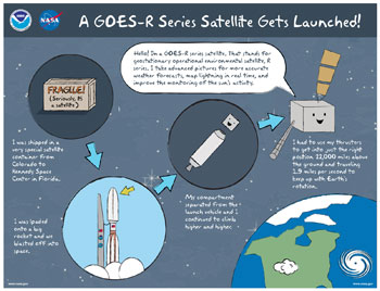
A GOES-R Series Satellite Gets Launched Poster
How does a GOES-R Series satellite get to Kennedy Space Center for launch? This poster accompanies an exciting video about a satellite’s travels from construction to orbit!
Download A GOES-R Series Satellite Gets Launched Poster | View A GOES-R Series Satellite Gets Launched Video
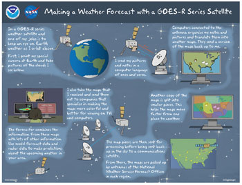
Making a Weather Forecast with GOES-R Series Poster
GOES-R Series satellites keep an eye on Earth’s weather as they orbits 22,000 miles above. But how does your local weather forecaster know what the satellites see? This poster accompanies an informative animated video about how our data is used for your local weather forecast.
Download Making a Weather Forecast with GOES-R Series Poster | View Making a Weather Forecast with GOES-R Series Video
GOES-R Comic
From 22,000 miles above Earth, GOES-R series satellites see amazing details of weather, watching forming storms and helping with hurricane, tornado and flood warnings and more! Follow a satellite's journey from construction to orbit to making your local weather forecast.
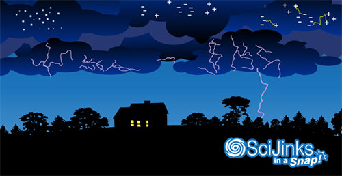
SciJinks in a Snap: Lightning Poster
What’s the deal with crackling and flashing clouds? This poster accompanies an animation that explains lightning and how the GOES-R Series satellites better monitor in-cloud lightning to help alert people to dangerous and intensifying storms.
Download SciJinks in a Snap: Lightning Poster | View SciJinks in a Snap: Lightning Video
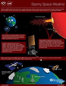
Stormy Space Weather Poster
The sun isn’t only a burning ball of immensely hot gas. It’s a burning ball of immensely hot gas with a temper! This poster accompanies an animation that explains space weather and how GOES-R Series satellites help monitor it.
Download Stormy Space Weather Poster: 8.5x11 | 11x17 | View Stormy Space Weather Video
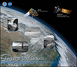
Fog and Low Clouds Poster FRONT: Using Satellite Data to Improve Transportation Safety
This great resource for students explains fog and low stratus clouds, how they form, and how weather satellites can accurately detect fog from space, improving transportation safety. The poster also includes an activity to make fog in a bottle, plus discussion questions and a link to answers.
Fog and Low Clouds Poster: Using Satellite Data to Improve Transportation Safety Poster Front
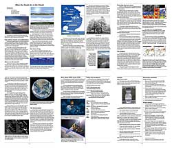
Fog and Low Clouds Poster BACK: Using Satellite Data to Improve Transportation Safety
This great resource for students explains fog and low stratus clouds, how they form, and how weather satellites can accurately detect fog from space, improving transportation safety. The poster also includes an activity to make fog in a bottle, plus discussion questions and a link to answers.
Fog and Low Clouds Poster: Using Satellite Data to Improve Transportation Safety Poster Back
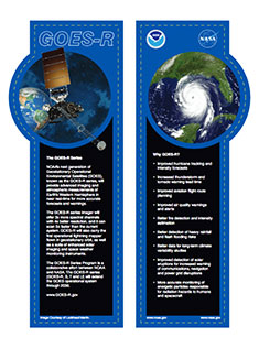
GOES-R Series Bookmarks
GOES-R Series Bookmarks highlighting each of the satellite’s instruments.
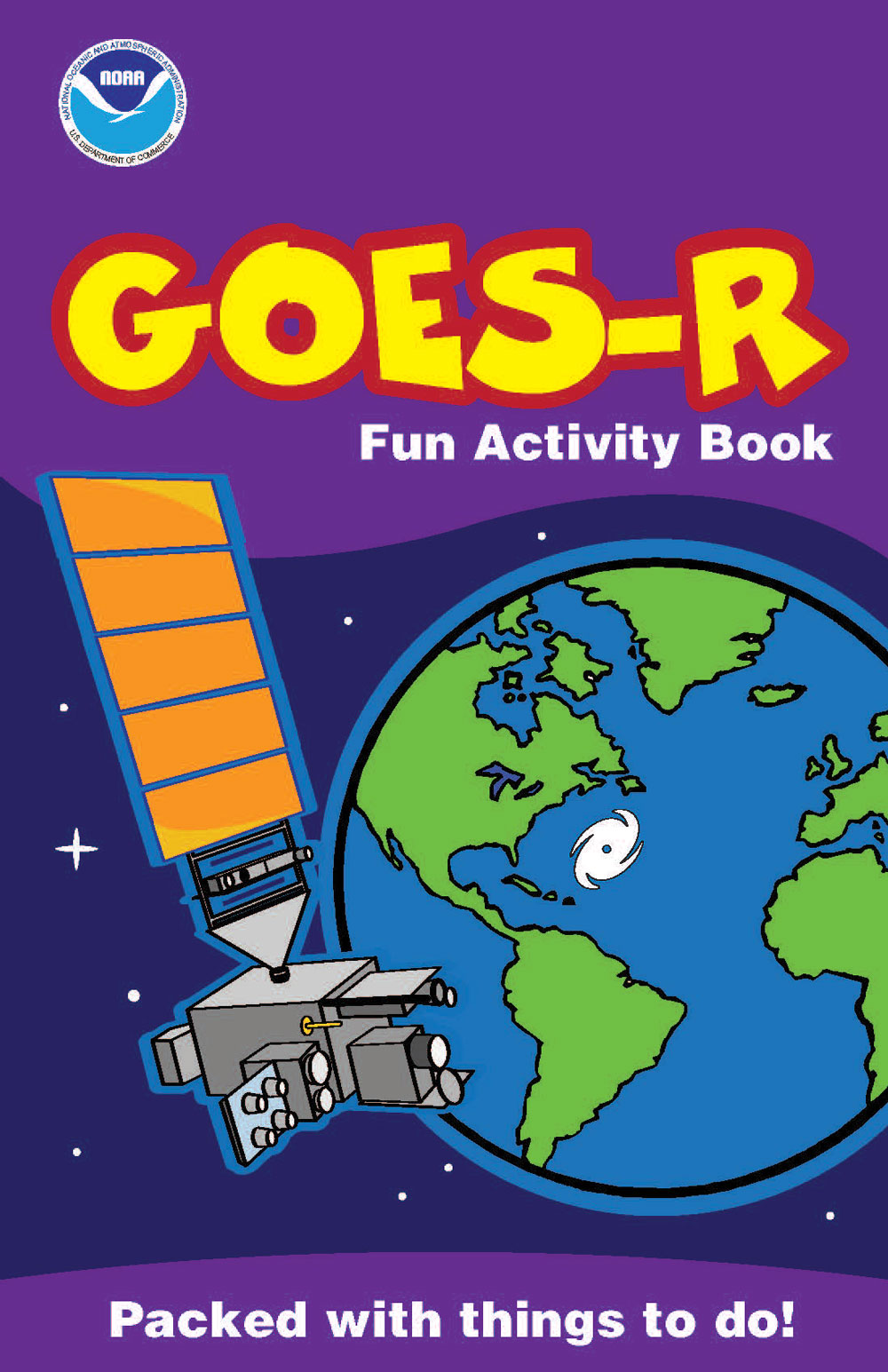
GOES-R Fun Activity Book
Have fun learning about weather and satellites with a new GOES-R activity book full of puzzles, coloring pages, and other activities!
Scavenger Hunt: Learn All About the Weather!
Want to send your students on a quest for weather knowledge? Use our weather scavenger hunt in your next lesson! Students can complete the scavenger hunt activity by reading the selected articles on the SciJinks website to find the answers to each clue. Once they have all the clues, they will be able to spell the secret word!
Games, Apps and Models
Learn more about weather, meteorology and weather satellites by playing some fun and educational games, exploring weather simulations, or building your own GOES-R satellite out of LEGOs!
Explore Satellite And Science Careers
Learn about exciting jobs in satellite science and meteorology and how to plan a career in one of these fields.
Algorithm Engineer
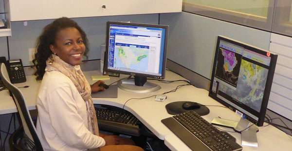
Algorithm Engineer: Learn how Jamese Sims uses computer algorithms to develop weather satellite products.
Mission Manager
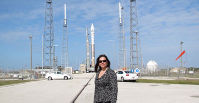
Mission Manager: Launching a satellite into orbit is no easy task. Learn more about what a Mission Manager does in this profile of Diana Calero.
Systems Engineer
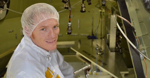
Systems Engineer: It’s very important to make sure that a satellite is ready for the extreme environment it will experience in space. Learn how Levi Smith shakes and blasts brand new satellites to make sure they’ll hold up in space!
Researching the Weather
Researching the Weather: Learn how Arlene Laing looks for patterns in the weather and turns research results into forecasting tools.
Satellite Controller
Satellite Controller: Imagine controlling a satellite orbiting earth. Much like a remote-controlled airplane, you send messages and tell it what to do. That’s what weather satellite controller Tom Boyd gets to do every day.
Smooth Flying
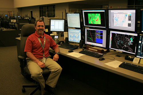
Smooth Flying: Mike Eckert is a National Aviation Meteorologist. He provides weather information to the Federal Aviation Administration, airlines and pilots. National Aviation Meteorologist focus on weather that will impact planes in the sky as well as those about to take off or land.
How Do You Become an Air Force Meteorologist?
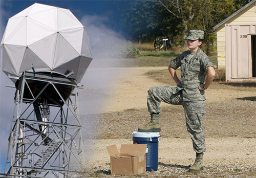
How Do You Become an Air Force Meteorologist? In this installment of Wild Weather Jobs, Meteorology student and Air Force Recruit Britta Gjermo explains how she’s preparing to become an Air Force weather officer. After completing her training, Gjermo will be responsible for putting together weather briefings for training missions and possibly even actual military operations.
Can Meteorologists Help Fight Wildfires?
Can Meteorologists Help Fight Wildfires? In this installment of Wild Weather Jobs, incident meteorologist Lisa Kriederman explains how she uses her expertise to help firefighters, emergency planners and residents stay as safe as possible during a wildfire.
How do Satellites Help Save Lives?
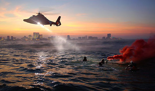
How do Satellites Help Save Lives? In this installment of Wild Weather Jobs, SARSAT Search and Rescue Specialist Christopher Eddy explains how he uses distress signals to organize and oversee search and rescue attempts. Learn how satellites like GOES-R play an important role in search and rescue efforts.
Keeping a Watchful Eye on Dangerous Ice
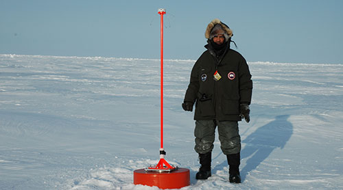
Keeping a Watchful Eye on Dangerous Ice: In this installment of Wild Weather Jobs, Chief Scientist for the National Ice Center, Dr. Pablo Clemente-Colón uses his expertise as an oceanographer to provide analysis and forecasts about dangerous ice conditions anywhere in the ocean as well as global snow cover on land.
What's it Like Being a Broadcast Meteorologist?
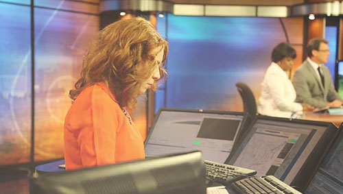
What's it Like Being a Broadcast Meteorologist? In this installment of Wild Weather Jobs, Carrie Rose of Richmond's CBS 6 TV explains a day in the life of a broadcast meteorologist.
NOAA Education Resources
STEM resources for student and teachers from our partners at NOAA.
NOAA Education Resources
NOAA Education
The NOAA Education Portal is a one-stop-shop to connect with learning and teaching resources about the ocean and atmosphere. Discover curricula, lesson plans, and real-time data to bring NOAA science into your classroom. Explore opportunities for educators and students of all levels and apply for competitive funding for education projects.
NOAA Satellites Education
Science, Technology, Engineering, Math (STEM) educational resources from NOAA Satellites for students and educators, including lesson plans, data visualizations, opportunities for teachers and students, infographics, videos, games and apps.
National Weather Service Education
Learn science with Owlie Skywarn! The National Weather Service education page includes educational content and activities related to weather science and weather safety for multiple age groups including kids, parents and teachers.
NOAA Climate Education
NOAA’s Cimate.gov provides science and information for a climate-smart nation, including resources for teaching about climate and energy. These resources include information about climate systems, causes of climate change, measuring and modeling climate, climate impacts, human responses to climate, and the nature of climate science.
NASA Education Resources
STEM resources for students and teachers from our partners at NASA.
Other Partners in Education
Additional GOES-R Program partners in education.
Other Partners in Education
Additional GOES-R Program partners in education.
UCAR Center for Science Education
The University Corporation for Atmospheric Research (UCAR) Center for Science Education offers a range of educational resources, programs and events to support teachers and students. Learning resources include curriculum modules, video clips, educational games, and a variety of info on weather, climate, solar and space weather, computer modeling, and Earth system science.
CIMSS GOES-R Education Proving Ground
The GOES-R Education Proving Ground features lesson plans developed by middle and high school science teachers and WebApps developed by NOAA Advanced Satellite Products Branch scientists in collaboration with researchers at the Cooperative Institute for Meteorological Satellite Studies (CIMSS). Also available is Satellite Meteorology for Grades 7-12, a learning module to introduce middle and high school students to meteorology, geoscience, physics, chemistry and applied mathematics.
COMET MetEd
The Cooperative Program for Operational Meteorology, Education, and Training (COMET) Program supports, enhances, and stimulates the communication and application of scientific knowledge of the atmospheric and related sciences for the operational and educational communities. In addition to forecaster training modules, the program has a variety of resources for use in teaching geosciences to K-12 students.


